Omniris Solutions
One Geospatial Platform.
Built for the Physical World.
Omniris turns drone, satellite, IoT, sensor, and historical geospatial data into intelligence across agriculture, defense, energy, government, and infrastructure.
Different industries. Different missions. The same challenge: understanding what exists, what changed, what matters, and what to do next.
Drone, satellite, aerial, IoT, sensor, and existing data.
Maps, models, AI, computer vision, measurement, and analysis.
Turn geospatial observations into operational decisions.
Keep the source data, derived intelligence, and history.
Industry Solutions
Intelligence built around the mission.
Omniris provides the same geospatial foundation across industries while adapting collection, analysis, visualization, and workflows to the assets and decisions that matter.
Fields • Vineyards • Orchards
Agriculture
→Turn drone, satellite, IoT, and historical field data into actionable intelligence for crops, vineyards, orchards, and specialty agriculture.
Mission • Edge • Intelligence
Defense
→Mission-ready geospatial infrastructure for collecting, processing, analyzing, preserving, and distributing intelligence from cloud to edge.
Generation • Grid • Renewables
Energy
→Inspect and monitor energy assets with visual, thermal, satellite, IoT, and AI-assisted intelligence across distributed infrastructure.
Cities • Agencies • Public Safety
Government
→Secure geospatial intelligence for urban planning, public works, emergency management, infrastructure, and operations in difficult environments.
Roads • Bridges • Utilities
Infrastructure
→Build a persistent digital history of roads, bridges, rail, water, telecom, utilities, ports, and other long-lived physical assets.
One Foundation
Different missions.The same physical world.
A vineyard, bridge, solar array, city block, and mission site may look completely different. The underlying intelligence problem is remarkably similar.
Multi-Source Data
Bring drone, satellite, aerial, IoT, sensor, GIS, and existing spatial data together.
2D + 3D
Transform observations into maps, models, measurements, and digital twins.
AI Intelligence
Apply computer vision, anomaly detection, and AI-assisted analysis to geospatial data.
Change Over Time
Compare observations across days, months, seasons, and years.
Cloud to Edge
Deploy across cloud, private infrastructure, on-premises, hybrid, and edge environments.
Open Architecture
Integrate with existing systems, workflows, sensors, and geospatial environments.
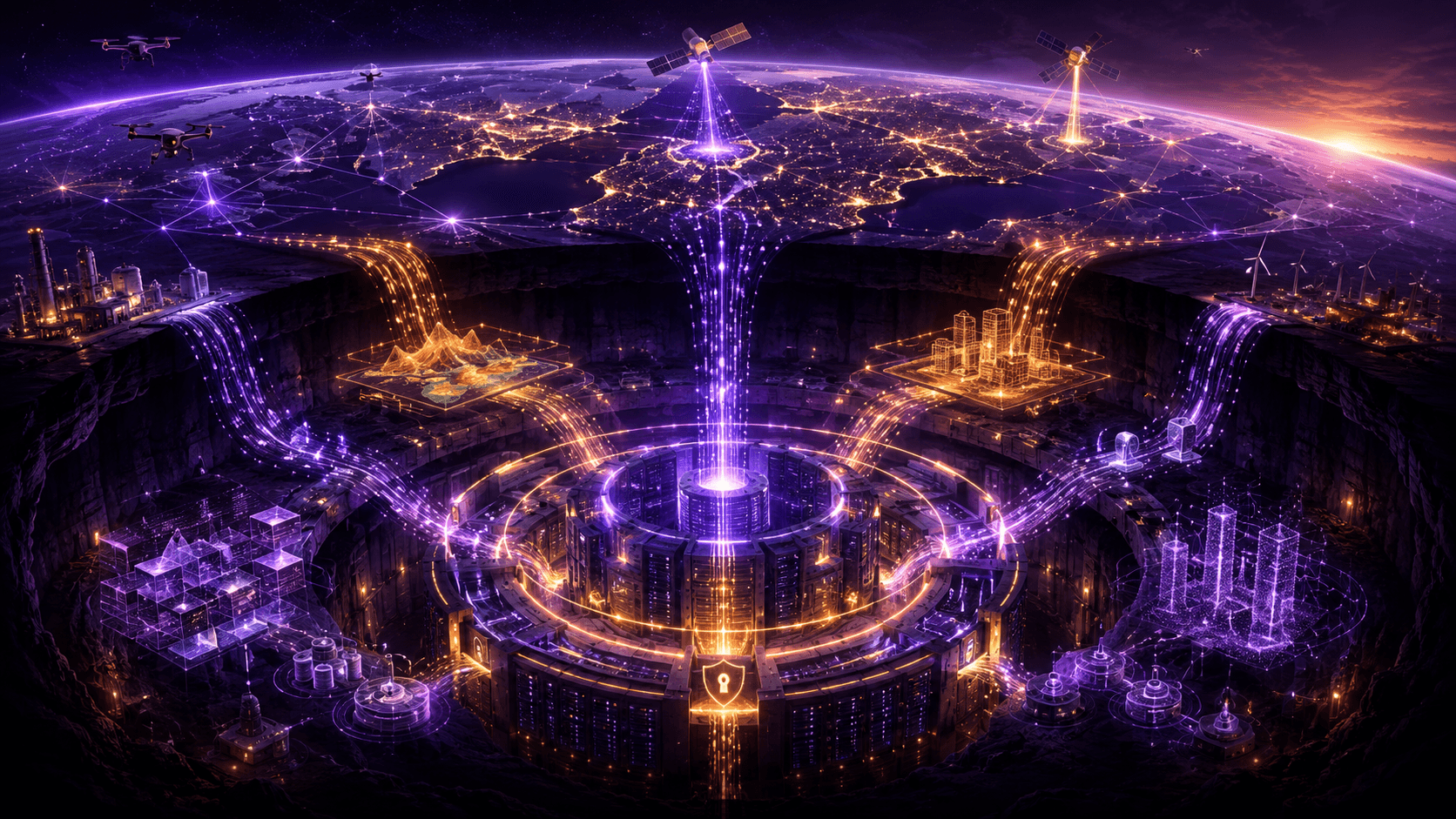
Geospatial Data Vault
Every observation makes the next one more valuable.
Most geospatial projects produce an answer for today. Omniris preserves the underlying observations so they can answer tomorrow's questions too.
Original imagery, sensor data, maps, models, AI-derived layers, metadata, processing history, and historical observations become part of a persistent geospatial record.
Start With Your Data
See what's there.Understand what changed.Decide what happens next.
Bring existing geospatial data into Omniris or collect new observations through drones, satellites, sensors, and field operations. Turn individual projects into a continuously growing intelligence asset.
Talk to Omniris